Quick Facts
| Difficulty | easy-moderate |
| Trail Type | loop |
| Distance | 5.3 km |
| Estimated Time | 2 hours |
| Surface Type | crushed rock, forested |
| Elevation Change | 27 meters |
| Features | ponds, birds |
| Trail Markers | none but easy to follow |
| Scenery Rating | beautiful |
| Maintenance Rating | well maintained |
| Cell Reception | medium |
| Dog Friendly | on a leash |
| Fees | none |
Description
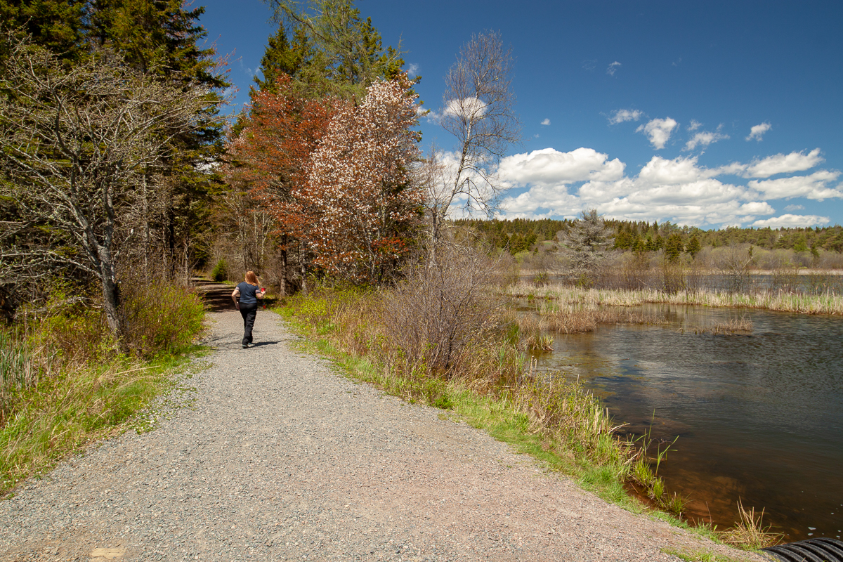
The Amherst Point Migratory Bird Sanctuary Trails travel through fields and forests and around several small ponds where you are sure to see many different birds. The start of the trail travels through a line of old hardwood trees where you may see songbirds. The trail emerges into an old field that extends down to Laytons Lake.
In the field the trail splits into three directions. Going left will take you around the field and around Laytons Lake. The back side of Laytons Lake is a mainly softwood forest with several lookouts on the lake. Going straight is the main crushed rock trail that takes you down the hill and past Laytons Lake and into the forest beyond. This trail used to travel through the forest and around a larger pond in the back but this back trail is now closed. Going right at the junction will take you across a small ridge and into a rocky ravine that is interesting to explore. All trails loop back to the main one.
In the ponds you will find ducks and other waterfowl. There have been close to 300 different types of birds identified in the reserve. This reserve combined with the John Lusby Marsh National Wildlife Area, that is on the coast on the other side of the road, provide over 1000 hectares of preserved habitit for migrating birds and other wildlife.
Map
From the Sign
Welcome to the Amherst Point Migratory Bird Sanctuary
This Sanctuary consists of 400 hectares of land. The nearby John Lusby Marsh is 600 hectares in size. Both sides are owned by the Government of Canada and managed by the Canadian Wildlife Service. Together they are known as the Chignecto National Wildlife Area.
Notices at the access points to the sanctuary list those activities which are permitted. The boundaries outlining the protected area are posted with blue and white signs, featuring a loon.
Directions
From the Trans Canada Highway (route 104) take exit 3 and head east on route 6 towards Nappan. Drive for 3.2 kilometres and you will find the bird sanctuary parking lot on the left.
Trail Last Hiked: December 30, 2018.
Page Last Updated: December 31, 2018.


